


-

-

-
Pastor Hal Mayer
Speaker / Director
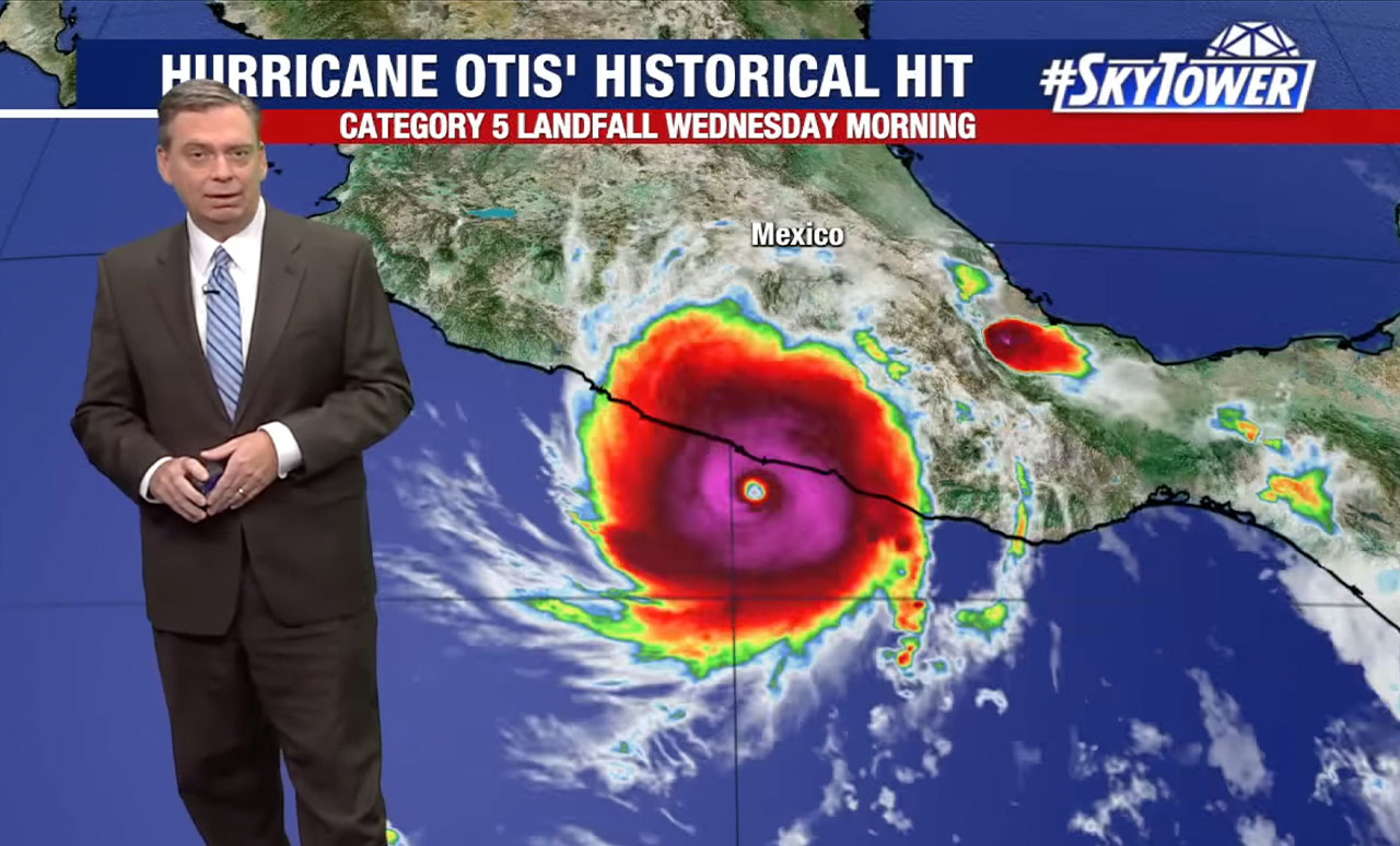
How did Hurricane Otis’ record intensification catch advanced forecast models by surprise?
31 de octubre de 2023

Prophetic Intelligence Briefings are provided to show a link between current events and Bible prophecy only. The reposted articles, which are not intended as a commentary in support of or in opposition to the views of the authors, do not necessarily reflect the views of Pastor Mayer or of Keep the Faith other than to point out the prophetic link.
Comments